48954897A Washington ST
Owner Information
LEON DOUGLAS M
4895 WASHINGTON ST #2
WEST ROXBURY, MA 02132


Property Details
48954897A Washington ST is classified as a Mixed Use (Primarily Commercial, some Residential) (Ret/whsl/service).
The primary structure on this property was built in 1947. There are 2,733ft2 of built area within this property. There is 2,733ft2 of residential/living space within this property.
48954897A Washington ST is valued at $672,900. The land is valued at $376,100 and the structures are valued at $296,800.
The most recent deed for 48954897A Washington ST is recorded at the local registrar in Book 14878, Page 242. 48954897A Washington ST was last sold on Wednesday, July 20, 1988 for $9.
Assessment data from fiscal year 2020.
Flood Data
According to the FEMA National Flood Hazard Layer, this property does not appear to be in a flood zone. It may also be in an area not yet reviewed. Nonetheless, confirm this information prior to taking any action.
To view the flood hazards around this property, create a FEMA "Firmette" Map of the area around 48954897A Washington ST.
Broadband Internet Providers
| Provider | Type | Bandwidth (mbps) | |
|---|---|---|---|
| VSAT Systems, LLC. | Satellite | 2 | 1 |
| HughesNet | Satellite | 25 | 3 |
| GCI Communication Corp. | Satellite | 0 | 0 |
| Viasat Inc | Satellite | 100 | 3 |
| RCN | Cable | 1000 | 20 |
| Crown Castle Fiber | Fiber | 0 | 0 |
| Verizon New England Inc. | DSL | 10 | 1 |
| Verizon New England Inc. | Fiber | 940 | 880 |
| Cogent Communications | Fiber | 0 | 0 |
| T-Mobile | Fixed Wireless | 25 | 3 |
| Comcast | Cable | 1000 | 35 |
| RCN | Cable | 500 | 20 |
Broadband service provider data from December 2020.
Adjacent Properties
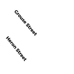
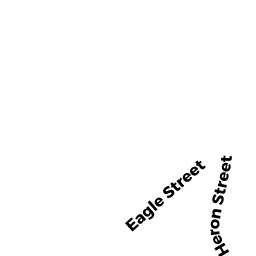
- 11 Heron ST
Single Family Residential owned by REARDON MARGARET - Heron ST
Undevelopable Residential Land owned by REARDON MARGARET - 6 GROUSE ST
Single Family Residential owned by CELAJ RAMAZAN - 4903 WASHINGTON ST
Single Family Residential owned by CLAUSSEN CYNTHIA A - WASHINGTON ST
Improved Municipal or Public Safety, Other City or Town owned by CITY OF BOSTON - GROUSE ST
Improved Municipal or Public Safety, Other City or Town owned by CITY OF BOSTON